It was a weekly rigmarole.
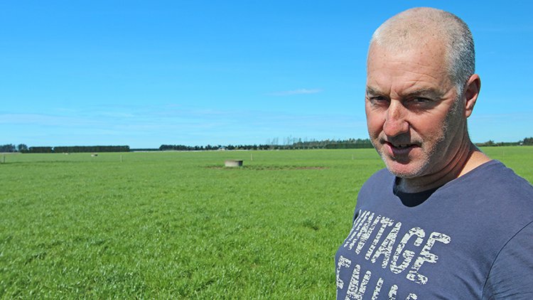
Until a year ago Rakaia farm manager Craig Smith had to organise the neighbouring farm’s C-Dax pasture meter, allocate staff time to run the meter across 24 paddocks (covering the 232ha property), wash the hardware down, and return the C-Dax to the neighbour – before uploading the pasture cover data via desktop to MINDA Land & Feed.
Now Craig doesn’t worry about any of that.
He simply opens his laptop to check whether an email from SPACE™ has landed overnight.
The email contains all the pasture cover information Craig needs, and, if the weather’s been good, the email can arrive up to four times a week – providing an excellent handle on the farm’s pasture growth rate.
“I rely on regular pasture cover data, and if that’s happening then the system is doing what it should – it’s rare that Canterbury goes 10 days without a clear day,” Craig says.
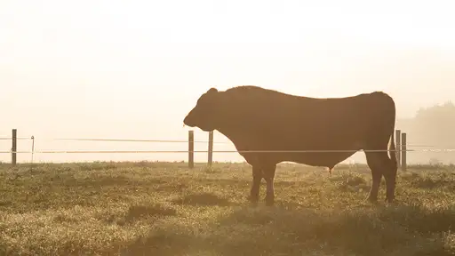
‘The system is LIC’s latest pasture management solution offering – SPACE – which stands for Satellite Pasture And Cover Evaluation. It uses satellite imagery to assess a farm’s pasture cover from paddock to paddock (see illustration below - note this is a specimen for example purposes only, it does not relate to the farm being discussed in this case study).
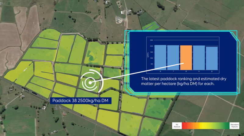
Satellite readings of pasture covers are automatically processed and packaged in to a spreadsheet, providing a ranking of paddocks based on available dry matter, together with a feed wedge graphic that shows the overall feed situation across the farm.
SPACE has been assessed by FarmWise as being as accurate as farm walk data via plate metering.
The difference between good and poor pasture management decisions has a direct bearing on a farm’s profit margins – underpinned by factors such as waste minimisation, appropriate feed allocation, cow production, cow condition, reproduction, and cow health.
“There’s a lot of money involved in getting it (pasture management) right,” Craig says.
 “So SPACE needs to deliver for us, and although it’s a new
system I can definitely see the satellite-based system develop over time –
it’ll get to a point where after a few years of data, we’ll start seeing trends
across our paddocks develop, which will be great for things like identifying
which paddocks to re-grass or soil test – and we might even be able to predict
feed surpluses or feed pinches ahead of time.”
“So SPACE needs to deliver for us, and although it’s a new
system I can definitely see the satellite-based system develop over time –
it’ll get to a point where after a few years of data, we’ll start seeing trends
across our paddocks develop, which will be great for things like identifying
which paddocks to re-grass or soil test – and we might even be able to predict
feed surpluses or feed pinches ahead of time.”
Craig agrees there’s a lot of future potential in the system, and that’s why he was an early-adopter of the technology.
Before its commercial release in December last year, he was a trial participant and has therefore been using the system for about a year (with planned gaps in data as software was updated).
“In terms of the order of the paddocks, feed per paddock, the system is spot-on,” Craig says, “but when it comes to the highest covers it’s struggling a bit – hopefully the sensitivities can be ironed out.
“The more they put in the system (such as weather information, for example), the more significant it’ll be.”
To find out more, visit our SPACE page.