Many of our farmers choose to integrate their SPACE™ reports into MINDA® Land & Feed as this can assist with:
- Calculating pasture growth rates and comparing at a paddock and farm level
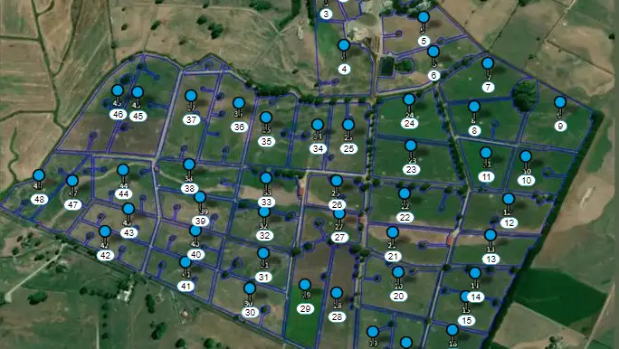
- Planning paddock allocation, grazing rotation order and round length
- Setting feed budgets and balancing feed surplus and deficit periods
- Working with staff to plan grazing and feed management
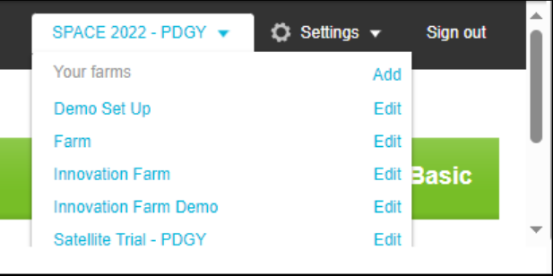
- Viewing multiple farms
You can opt to have your satellite based SPACE™ reports automatically uploaded with the MINDA® software if you are a MINDA® customer. If you’re not already set up in Land & Feed, simply get in touch with the SPACE™ Support Team to get you started.
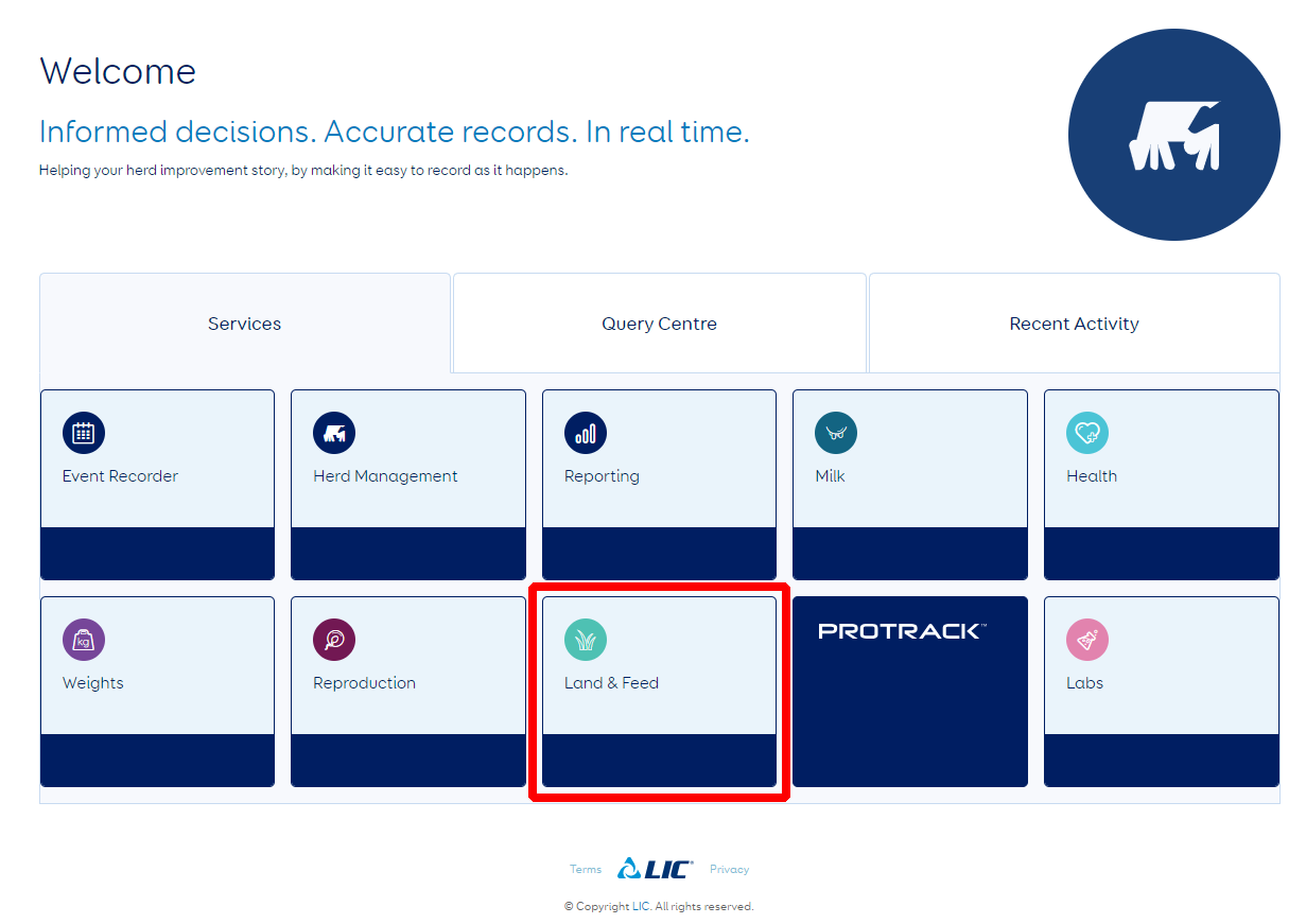
You can access your SPACE™ report data from the MINDA® landing page by selecting the Land & Feed tab. The MINDA® Pasture app can also be used to view SPACE™ pasture covers. When in range of wireless internet or a mobile signal, changes made to recorded covers will upload automatically to MINDA® Land & Feed, where covers can be viewed as a feed wedge.
If you are an existing MINDA® Land & Feed customer or wish to upload your own pasture data alongside the SPACE™ data, we can set up a separate map to allow you to differentiate between the different data sources (e.g., SPACE™ data, pasture walks). This is to prevent either dataset from being overwritten as Land & Feed does not separately identify different sources of data when it is within the same map.
As MINDA® Land & Feed is a reporting portal for the SPACE™ service, changes made in your MINDA® Land & Feed account to paddock boundaries or labels will not automatically flow through to your SPACE™ report.
Where you do make changes and have opted for a Cropwise Imagery account, simply request access to edit your map in Cropwise Imagery similarly to ensure the maps are identical. Alternatively, if you have not opted into Cropwise Imagery, please get in touch with the SPACE™ Support Team to advise us of changes made.
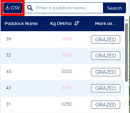
Estimated pasture cover data are derived from Pasture Vibe modelling and displayed in pink in your SPACE™ report. Reports that are entirely based on estimated values will not automatically be integrated into your Land & Feed account. Note that data from reports that include estimated values alongside satellite-based values (e.g., where the dry matter exceeds the accurate estimation range of the satellite) is automatically uploaded.
To include estimated (only) values in MINDA® Land & Feed, you will need to manually upload these by saving the CSV (spreadsheet) file to your computer. Next, go to the Pasture Cover Tab and click ‘Upload Pasture Covers’. You may wish to edit your estimated cover data to reflect grazing events prior to saving the CSV file.