13 December 2017
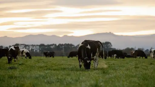
SPACE uses satellite images to measure pasture, sending detailed reports directly to farmers by email. This innovative technique has the ability to save farmers several hours a week by replacing the current way of measuring, which is either walking the farm or towing instruments behind a vehicle.
The technology hasn’t previously been commercially viable in New Zealand due to cloud coverage, but LIC’s satellite provider takes daily images to counter the cloud cover problem.
LIC chief executive Wayne McNee says that the project is part of LIC’s ongoing commitment to developing products and services that improve productivity and decision making for farmers.
“The SPACE service provides a game-changing opportunity for farmers to gain an objective assessment of pasture cover which will result in more informed decision making around grazing, fertiliser and overall feed management.
“Satellites that pass over daily give us the best chance to provide our farmers a clear image once a week, which is aligned to best practice for pasture measurement,” says Wayne McNee.
The satellites will pass over New Zealand daily and when a clear image is taken, a detailed pasture report is sent to the farmer within 24 hours. For LIC customers who also use MINDA Land & Feed, the pasture cover data is uploaded automatically to the web-based system.
As well as saving farmers’ time, SPACE offers a truly objective assessment of pasture cover. Utilising the satellite’s sensors, measurements aren’t subject to any human bias.
The report creates a feed wedge, ranking paddocks in relation to pasture availability, and includes an image of the farm showing pasture variation by colour and estimated pasture cover for each paddock.
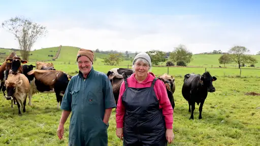
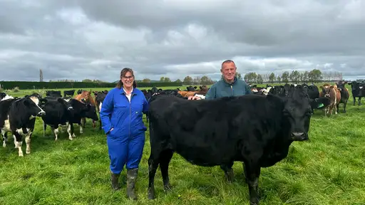
Ron Pellow, executive director of South Island Dairying Development Centre, which has a farm in the satellite trial, says the real opportunity for farmers is to know when pasture supply is going up or down, and to respond accordingly then and there, rather than two weeks later.
“We know there’s a 25 per cent difference in milk production between the best farmers and the average, and most of that is due to pasture management. SPACE will provide consistent, frequent data that can help significantly lift milk production from pasture. It could be phenomenal for New Zealand.
“The technology will also help reduce our environmental footprint as farmers will manage pasture better and therefore maintain production with less need for imported feed,” says Ron Pellow.
Initially SPACE will be available to farmers in Canterbury who are located within two 1000 sq. km areas from December 2017. The plan is to roll it out nationally as soon as possible.
LIC SPACE – satellite pasture measurement

SPACE is a game-changing opportunity for farmers to gain an objective assessment of pasture cover which will result in more informed decision making around grazing, fertiliser and overall feed management.